
Help & how-to
Get the most out of My Summit Log
A quick visual tour of every feature, from bagging your first Munro to tracking your quality mountain days. Hill bagging is free; Premium adds the tools for Mountain Training awards.
01
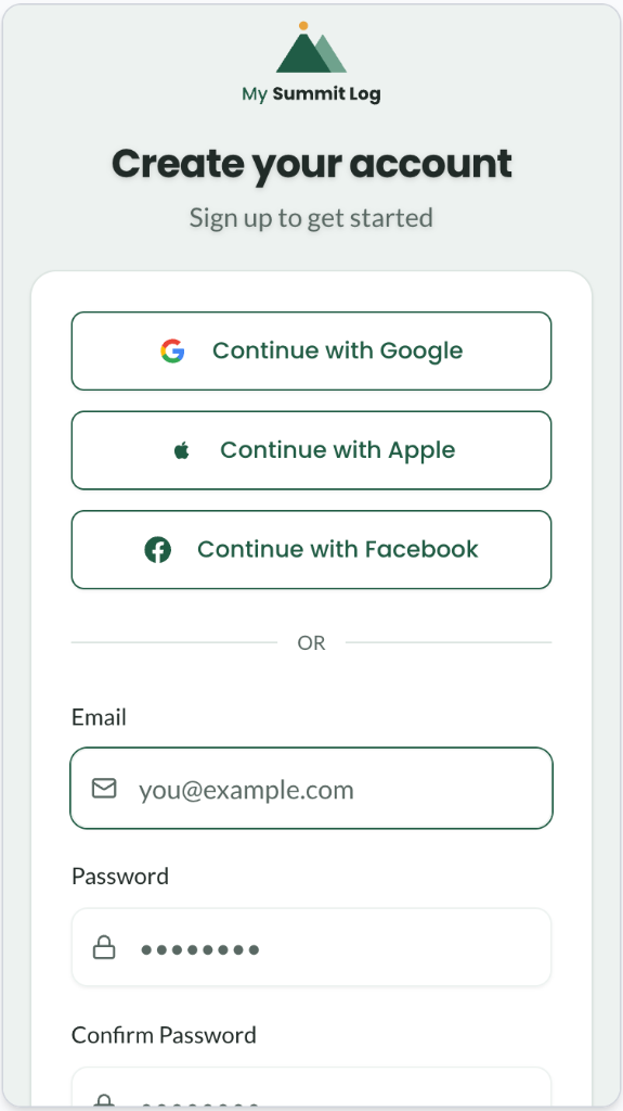
Create your account
- Tap “Start free”, choose a display name and enter your email address and a password, or continue with Google, Apple or Facebook. No card is needed.
- Type in the one-time code we email you to verify it's you.
- Add a profile picture in Settings. Your display name and picture are how your walks, awards and shared routes are labelled.
02
Log your walks
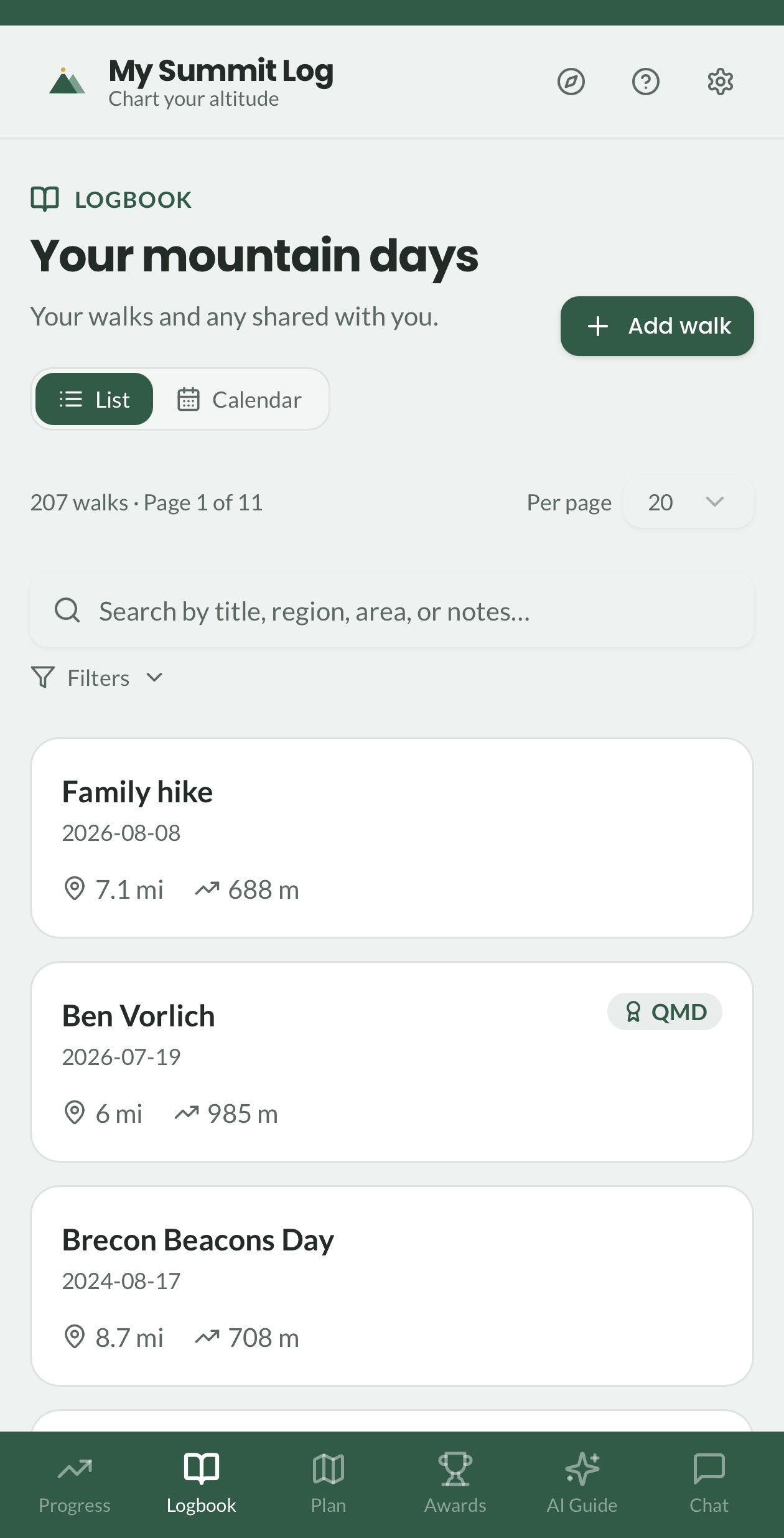
- Open the Logbook and tap + Add walk to add a walk by GPX or FIT upload or by hand. With Premium, walks can also arrive from Strava.
- Switch between List, Calendar and Map views, search by title, region, area, notes or companion, and filter by distance, ascent or quality day.
- Walks you've confirmed as quality mountain days in their evidence record show a QMD badge in the list.
- Tap any walk to open its detail page: edit distance, ascent and duration, tag terrain types, see the weather fetched for the day, bag summits, and add camp nights, photos, gear and evidence.
03
Bulk import your tracks
- Open Import and drop several GPX or FIT files at once.
- Review the parsed stats for each track.
- Save them all to your logbook in one go.
Drop GPX files here
Glyderau_traverse.gpx
Crib_Goch.gpx
Tryfan.gpx
04
Sync with Strava (Premium)
- Strava is optional. GPX and FIT uploads work from any watch or app.
- With Premium, go to Settings → Strava and connect your Strava account.
- Use “Sync new” to pull in recent activities, or “Sync & process all” to import your history and load every route.
- Each activity arrives with its GPX track, distance, ascent and duration, and summits and weather are added automatically.
- Turn on automatic sync to import new activities every 4 hours.
Strava
Connected · Auto-sync on
Pen y Fan circular
14 Jul · 6.2 mi
Cadair Idris summit
8 Jul · 8.1 mi
Snowdon via Pyg Track
2 Jul · 7.4 mi
Import all historyCrown icon = Premium
05
Watch your hill lists fill up
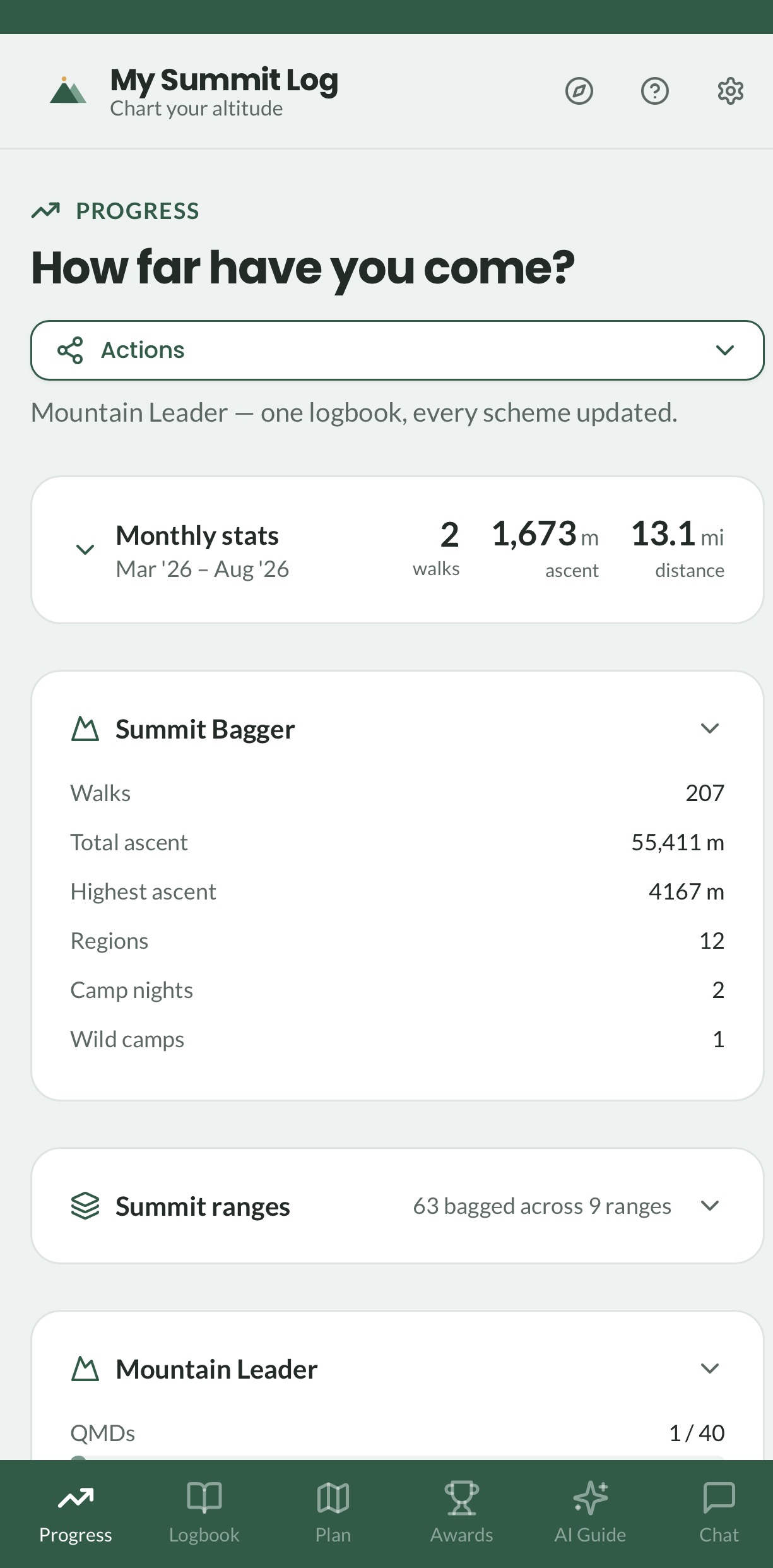
- The Progress page brings your summit bag, hill lists and awards together in one view, free. Scheme tracking for Mountain Training awards is part of Premium.
- Summit bag totals your walks, ascent, highest summit, regions and camp nights, with a map of the regions you've covered.
- Summit ranges follows all 18 hill lists, from Munros, Corbetts and Grahams to Wainwrights, Nuttalls and Hewitts. Each list shows your progress, your highest summit and first-summit badges, and you can download any list as a PDF.
- Every walk keeps its stats, photos and reflections together, so the numbers here are built from the days in your logbook.
06
Open your qualification hub (Premium)
- Register your schemes in Settings (ML, HML, LL, Winter ML, IML or Camping Leader) and a Qualification tab appears in your main navigation.
- Each scheme gets a readiness card showing quality days, regions, camp nights and first-aid hours against the requirements, with the gaps spelled out.
- The qualifying walks list holds the days that meet the criteria for your scheme. Tap one to reopen the day and its evidence record.
- When you're ready, download the DLOG-ready export: a spreadsheet (.xlsx or .csv) laid out like DLOG's record fields, plus your GPX tracks in a ZIP. DLOG has no import for walking records, so you copy each day across, and DLOG stays your official record.
- Batch export to Log in Settings puts your evidence records into one ZIP of GPX files with a summary.
- Guidance under the cards explains what each award needs. Always check the current requirements in your Mountain Training candidate handbook.
Mountain Leader
Working towards assessment
Quality mountain days18 / 40
Camp nights5 / 8
Mountain regions3 / 3
Glyderau traverse
12 Mar · QMD met · Eryri
Qualifying walks only · DLOG-ready export
07
Earn awards
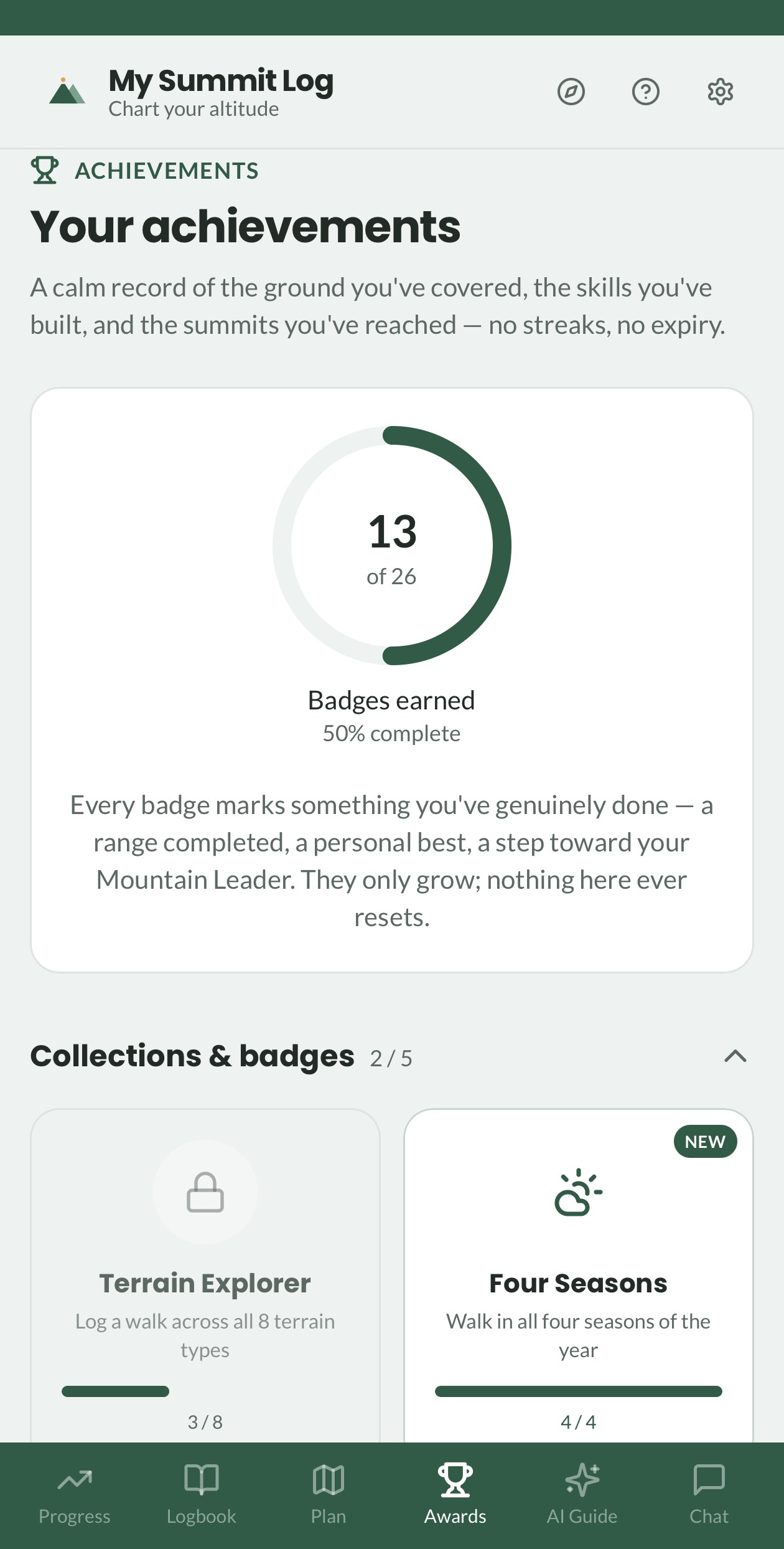
- Open Awards from the trophy icon to see your badge progress ring and badges across three families: Collections, Firsts and Mastery.
- Badges unlock automatically as you log summits, ranges, camp nights and quality days. There are no streaks or leaderboards, just your own milestones.
- Each badge card shows what you've earned and your progress towards the next one.
- A notification appears whenever you unlock something new. Tap the trophy to see all your badges.
08
Plan future walks
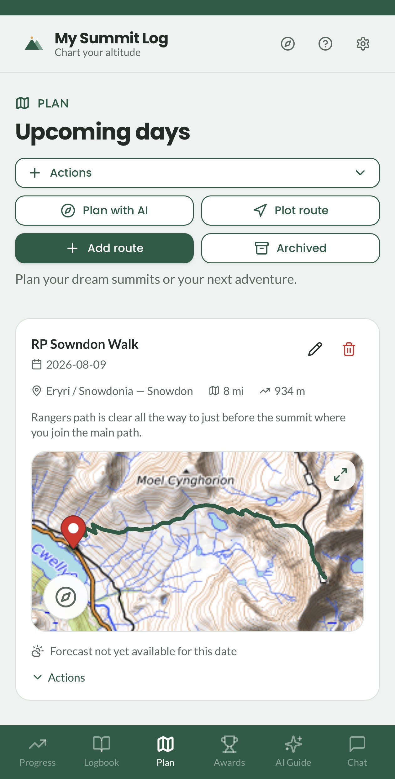
- Tap Plan to see your upcoming days.
- Use Plot route to draw a route on the map and save its GPX, or add a route by hand with a date and region.
- Select summits from the hill database and add your navigation and contingency plan.
- Check the forecast for your planned date, export the GPX, share the route, or find a place to stay nearby (Premium).
- Mark a walk as done to copy its planning details straight into a new logbook entry and evidence record, or archive it if you don't need a logbook entry.
09
Let the MSL Guide do the typing (Premium)
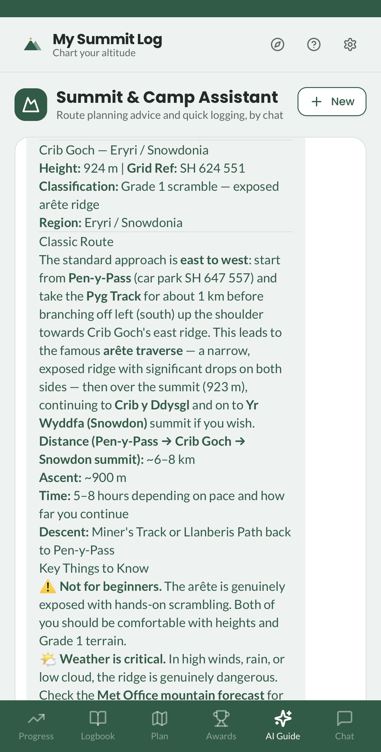
- Open the MSL Guide and describe your day in plain words, such as “bagged Tryfan, wild camped at Bwlch”.
- The MSL Guide creates the walk, logs the summit and adds the camp night for you.
- Check what it has logged before you rely on it, and always use your own judgement on the hill.
10
Discover routes on MSL Shared (Premium)
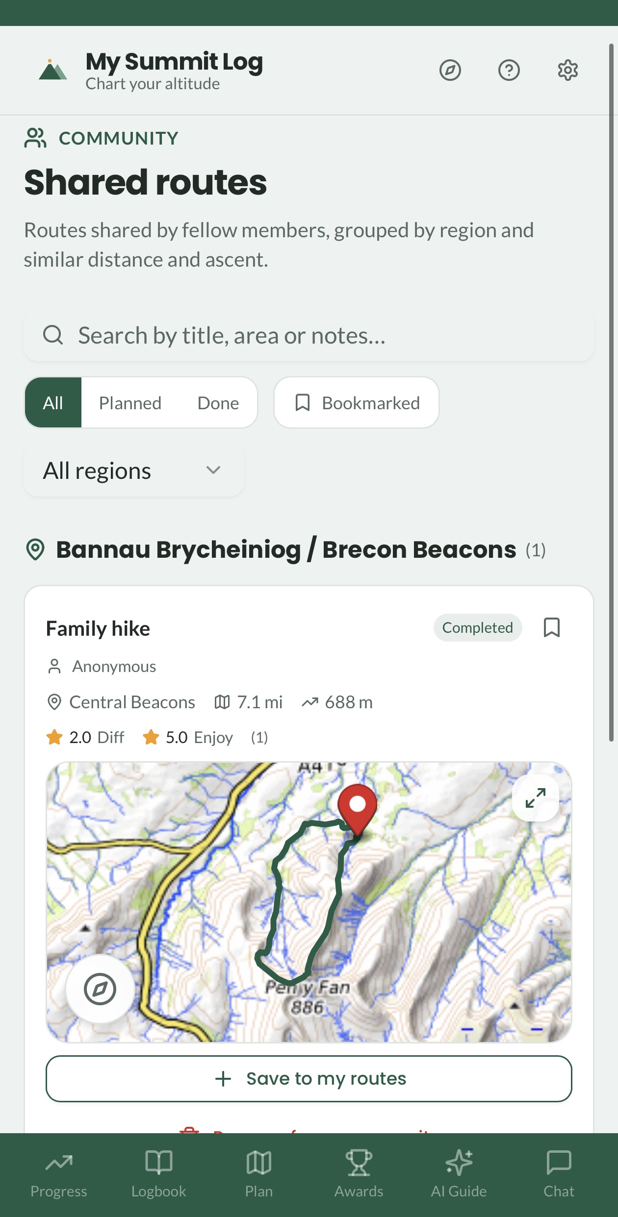
- Open MSL Shared to browse walks and planned routes shared by other members.
- Filter by All, Planned, Done or Bookmarked, and save a shared route straight into your own Plan.
- Rate routes for difficulty and enjoyment, leave a comment, or bookmark the ones you like.
- Share one of your own from any walk or planned route, with everyone in MSL Shared or just a few friends by email.
- Walks shared with you by email also appear on your Plan page as suggested routes, on any account.
11
Post a walk to social
- Open any walk you own and tap Post in the header.
- Pick Instagram (4:5 portrait) or Facebook (1:1 square). The image is built from the day's route map, summits, title, date and stats.
- Choose one of the walk's photos to sit on the post, or none at all.
- Tap Share image to send it through your phone's own share sheet, or Save image to keep it and post later.
- Add a walk link: create a public link and anyone can open the full map, photos and reflections. Nothing is public until you create it.
Instagram Facebook
Glyderau traverse
12 March 2026 · Eryri
12.4 km890 m5h 12m
Share image Walk link
FAQ
Frequently asked questions
Logging walks, hill bagging, Mountain Training, DLOG and Premium. For the grade definitions, and for why only some hills are graded, see the T-Scale help page.